Hey there,
it's been a while since my last post. Since then - with the help of this awesome community - I have added multiple new features and fixed a lot of bugs.
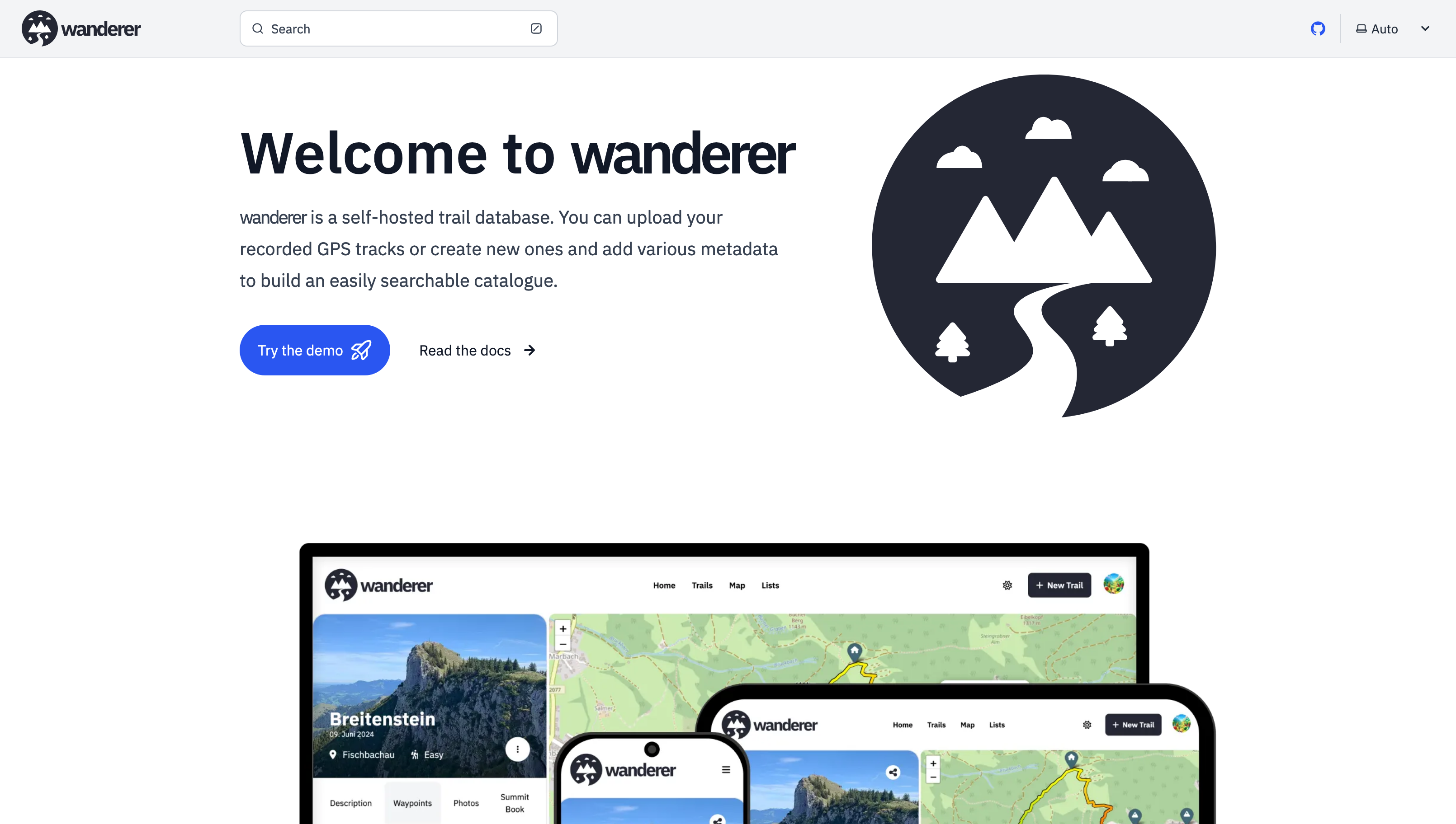
Most importantly there is now a working demo alongside a shiny new landing page.
And here are some more fun features I added since then:
- Trail drawing: in addition to uploading you GPX, TCX or KML files, you can now also simply draw a trail by defining multiple waypoints. The route between them will be calculated automatically.
- Sharing trails: simple and straightforward - you can share your trails with other users and let them view or edit.
- Printing trails: there is now a dedicated print view. Plan your adventure digitally and then take it with you on paper.
- wanderer is now available in 8 different languages (thanks to translators from the community). If you would like to contribute a translation you can do so here.
- You can now bulk upload multiple trails at once simply by putting them in a dedicated auto-upload folder
And much more. I'd be happy if you give it a try in case you haven't yet.
GitHub repo: https://github.com/Flomp/wanderer